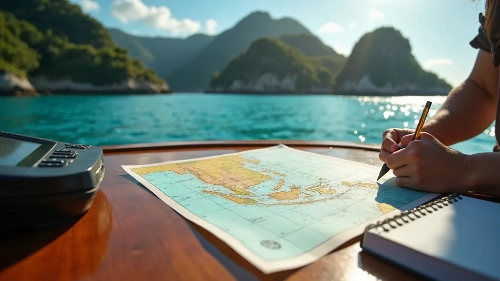
Treat charts in Raja Ampat as a strategic tool and your eyes as the tactical one. Survey data in parts of eastern Indonesia is old, sparse or derived from sources that predate modern positioning, and reef and shoal routinely appear where the chart shows clear water. The working method is layered: charts and satellite imagery for planning, radar and depth for approach, and a lookout on a high point with good light for the last mile. Any layer alone will eventually put you on coral.
Why the data is what it is
Hydrographic survey is expensive and it is prioritised where commercial shipping goes. Eastern Indonesia has enormous coastline, dispersed population and relatively little deep-draft commercial traffic outside the main ports, so much of the detailed inshore water has never been surveyed to modern standards.
Some coverage derives from surveys conducted many decades ago using methods and datums that do not align cleanly with satellite positioning. That produces the specific failure mode most likely to catch a modern crew: a plotter showing the vessel’s position with impressive precision, on a chart whose features are displaced. The position is accurate. The chart is not.
The layered method
Layer one: planning
Use current electronic charts to plan routes and identify candidate anchorages, and treat everything inshore as provisional. Cross-reference against satellite imagery, which for shallow tropical water is genuinely excellent — reef structure, sand patches and channel lines are frequently far clearer in imagery than on any chart. Download it before you leave connectivity.
Layer two: approach
Radar gives you the land, which in karst country is well defined and useful for position fixing. Depth gives you what is directly under the transducer and nothing about what is fifty metres ahead — a critical limitation on steep-to reef where the shelf edge is vertical. Use both, trust neither alone.
Layer three: the last mile
Eyeball navigation, with the sun high and behind you and a lookout up high, as described in the piece on spotting a sand patch. In reef water this is not a fallback. It is the primary sensor, and the other layers exist to get you into a position where you can use it.
Practical rules that prevent incidents
| Rule | Reason |
|---|---|
| No night entry to an unfamiliar reef approach | The primary sensor is unavailable. Stand off or stop somewhere known. |
| Arrive with the sun high and behind | Low or ahead sun makes the surface opaque. |
| Slow down before you need to | Stopping distance over reef is measured in seconds of reaction, not metres. |
| Offset your route from charted dangers generously | Chart displacement is a real and common error mode. |
| Record your own tracks and soundings | Your verified track through a passage is better data than the chart. |
| Ask the fleet | Liveaboard skippers run these passages weekly and their knowledge is current. |
Build your own dataset
The single most valuable navigational asset a vessel accumulates in Raja Ampat is its own track history. Every passage safely run, every anchorage entered and verified, every sounding logged at a known state of tide becomes information that is more reliable than anything published, because you generated it and you know the conditions it was generated in.
Log it deliberately: tracks, anchorage positions with depth and tide state, notes on where the chart was displaced and by roughly how much, and photographs of approaches from seaward. On a second season this dataset transforms the vessel’s freedom of movement.
Local knowledge is a navigational instrument
Village boatmen and dive operators here navigate water they have known their whole lives, without charts, successfully, every day. That knowledge is available to vessels that have built a relationship, and it is frequently more precise about a specific passage than any published source.
The practical routine is to ask before an unfamiliar approach: is there a preferred line through, what state of tide, anything that has changed. In some approaches taking a local aboard for the run in is a completely normal and sensible arrangement. This is one of many reasons the relationship-building described on the landings and access page pays for itself.
The mindset that keeps hulls intact
Crews that come to grief in reef country are rarely careless. They are usually crews who trusted one layer more than it deserved — a good chartplotter, a clean-looking chart, a depth sounder reading, or a track someone else shared without stating the conditions.
The habit worth building is a running internal question: what am I trusting right now, and what happens if it is wrong? In Raja Ampat the honest answer is often that the chart is wrong, and the plan should already assume it. For how this shapes daily scheduling across a season, see the cruising guide.
Sharing data without spreading errors
Cruising communities pass tracks and waypoints around, and in a region with imperfect charts that is genuinely valuable — but it carries a specific hazard. A track is only safe under the conditions it was run in: that vessel’s draft, that state of tide, that light. Passed on without those qualifiers, it becomes a confident-looking line that puts a deeper hull on a reef at low water.
So when you share, share the metadata: draft, date, state of tide, sea state and how much margin you actually had. And when you receive, ask for it. A track without provenance should be treated as a suggestion about where the water might be, not as a route. The same standard applies to anything you read online about this region, including seasonal advice and fee figures — the reason this desk repeatedly says “confirm current” rather than publishing numbers is set out on the about page.
When to stop
The single most useful navigational decision available in reef country is to stop. If the light has gone, if the lookout is unsure, if the chart and what you can see disagree, or if the depth is behaving unexpectedly, take the way off and look. There is no schedule in Raja Ampat worth a grounding, and the weather-driven flexibility already built into a good itinerary — described in the cruising guide — means an hour lost to caution costs nothing at all.
Frequently asked questions
Are Raja Ampat charts accurate?
Coverage exists but detail is uneven, some data derives from old surveys, and features can be displaced relative to satellite positioning. Reef and shoal are frequently better seen than charted, so charts should be used for planning while eyeball navigation in good light handles the final approach.
Can I use satellite imagery for navigation in Raja Ampat?
Satellite imagery is genuinely useful in clear shallow tropical water and often shows reef structure and sand patches more clearly than charts. It should be downloaded before leaving connectivity and used as one layer alongside charts, radar, depth and a posted lookout — never alone.
Talk to the berthing desk
Raja Ampat rewards vessels that arrive with a plan. Share your LOA, draft, arrival window and intended islands, and we will answer with what is realistically available. Quotations in USD.